City Atlas — No. 07
AMSTERDAM
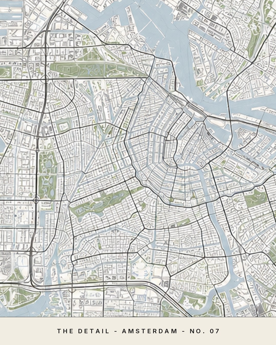
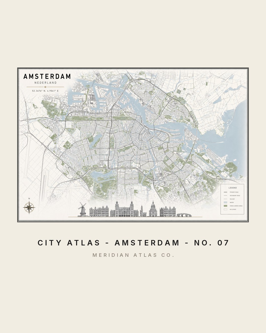
The Grachtengordel was a 17th-century masterplan; it remains one of the most legible city forms ever drawn.
The figures
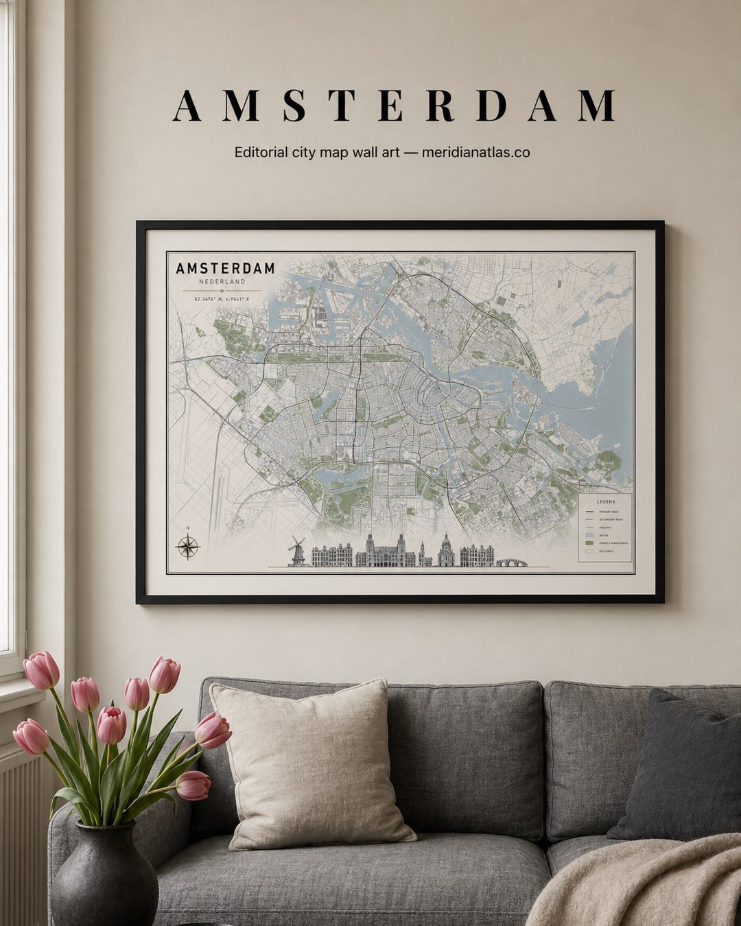
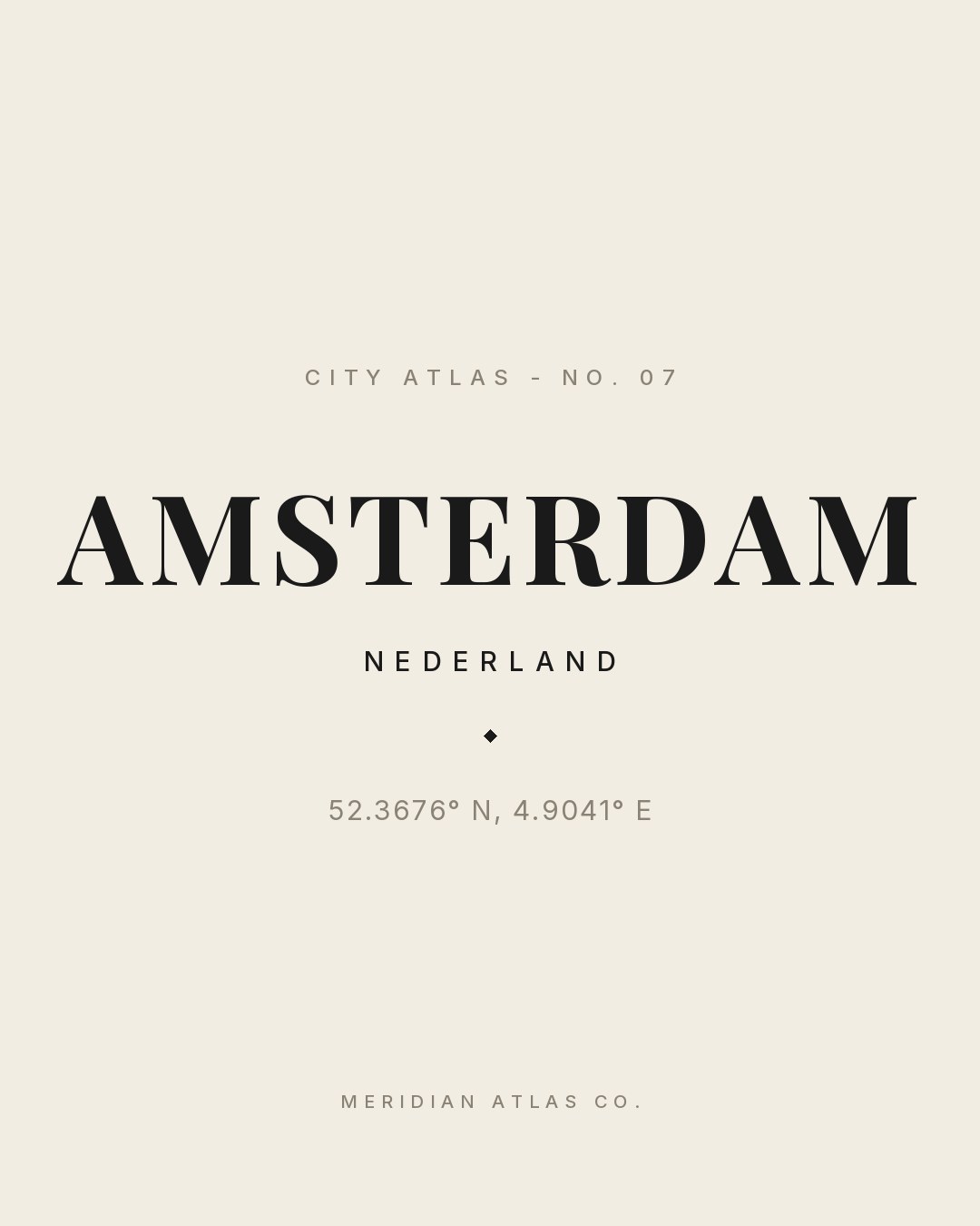
One plate, studied four ways.
Tap any figure to enlarge it. Each study shows how the plate behaves: as a map, in a room, as typography and in motion.