I.
The city is drawn
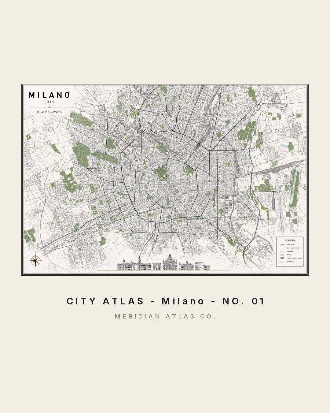
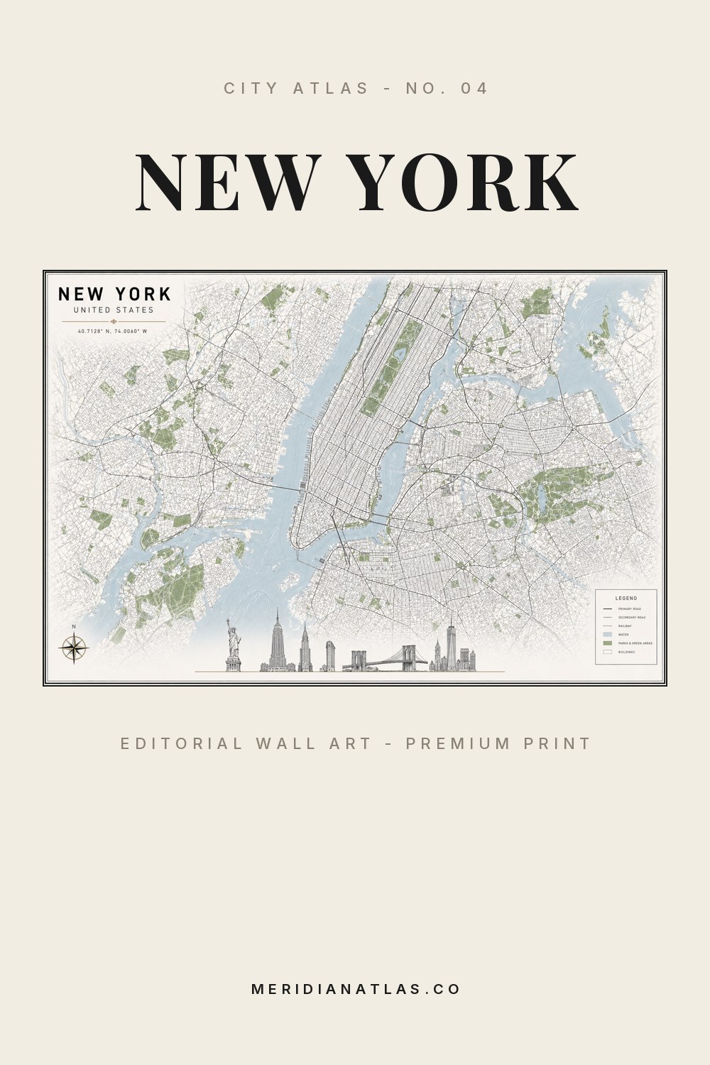
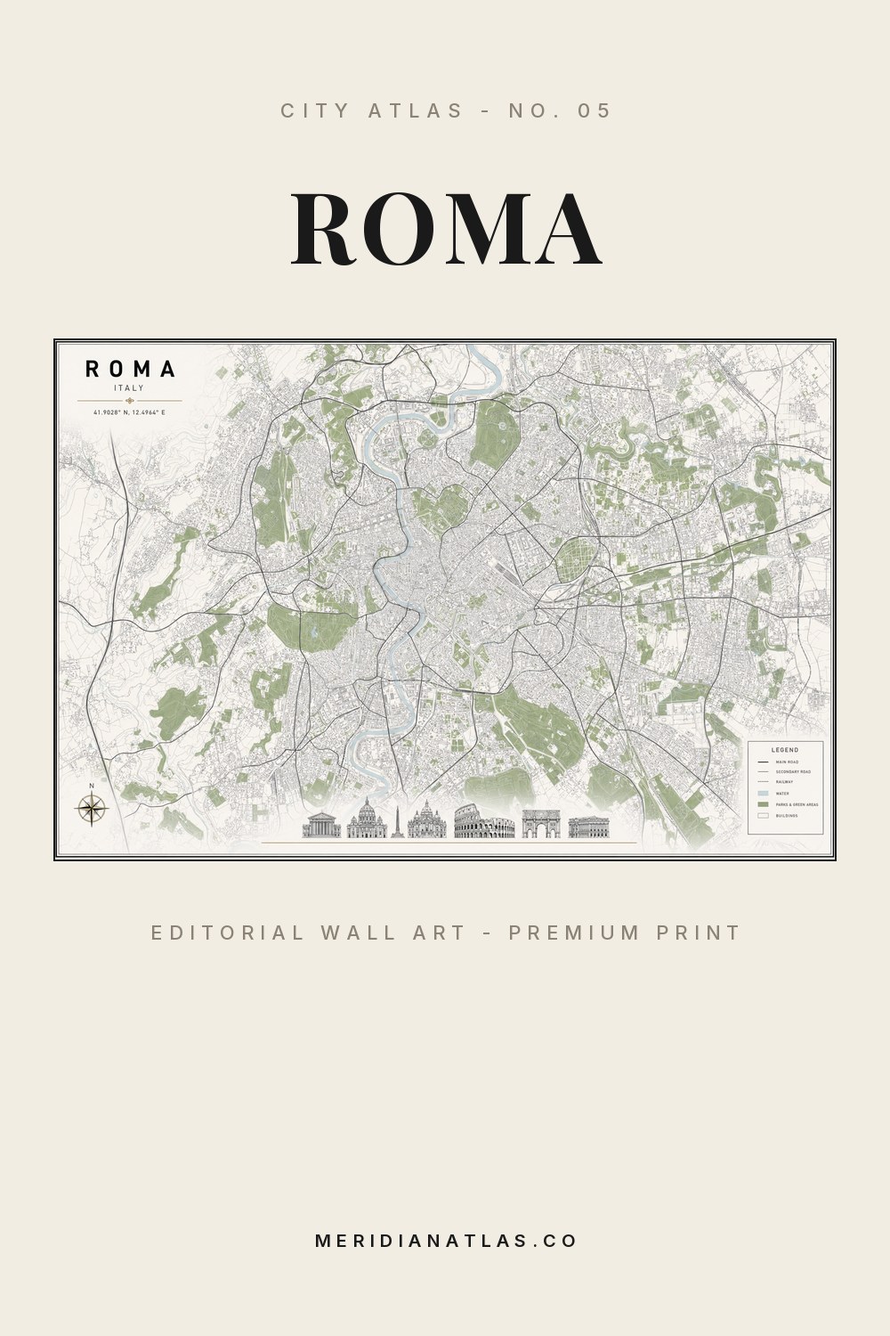
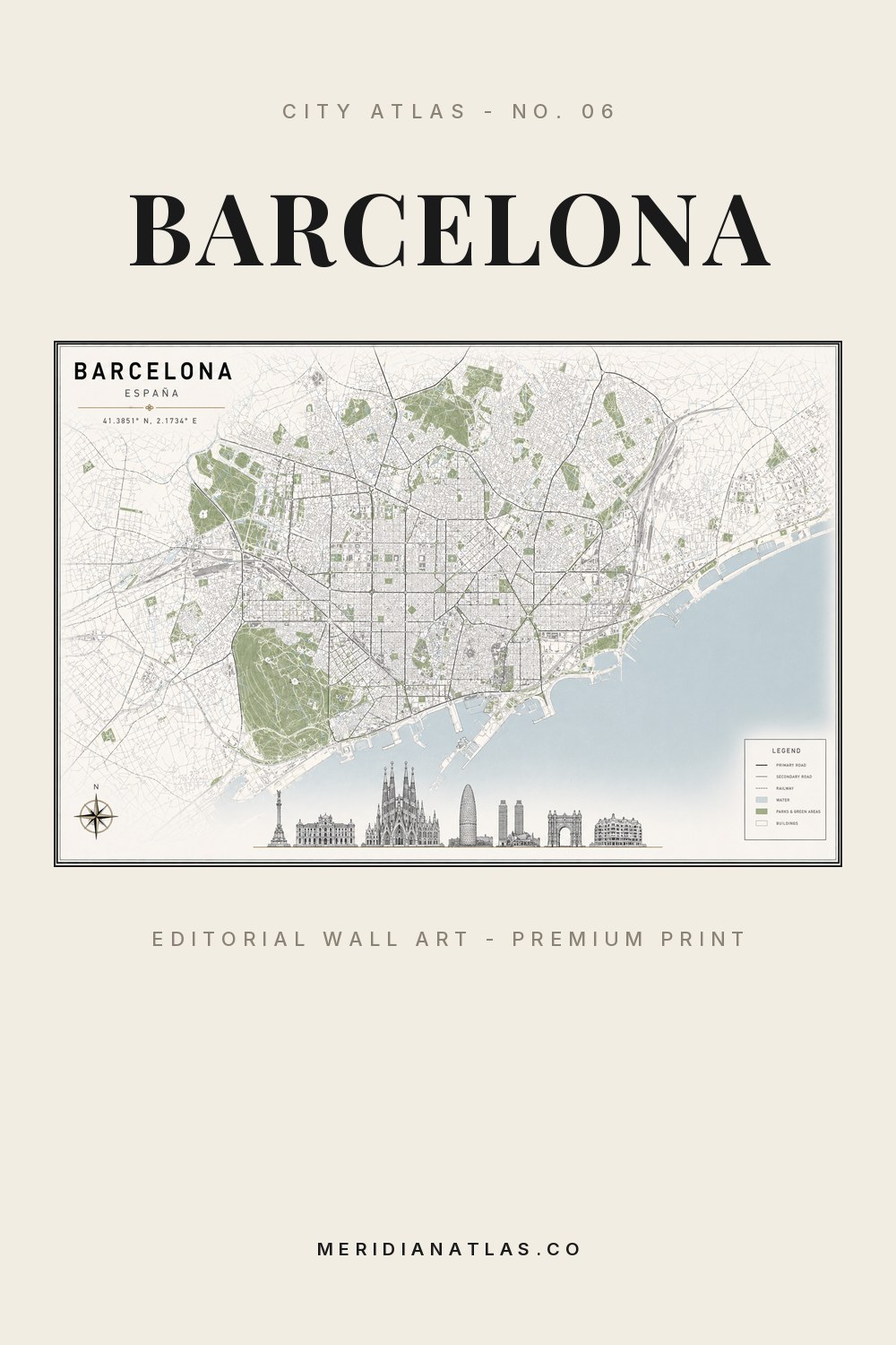
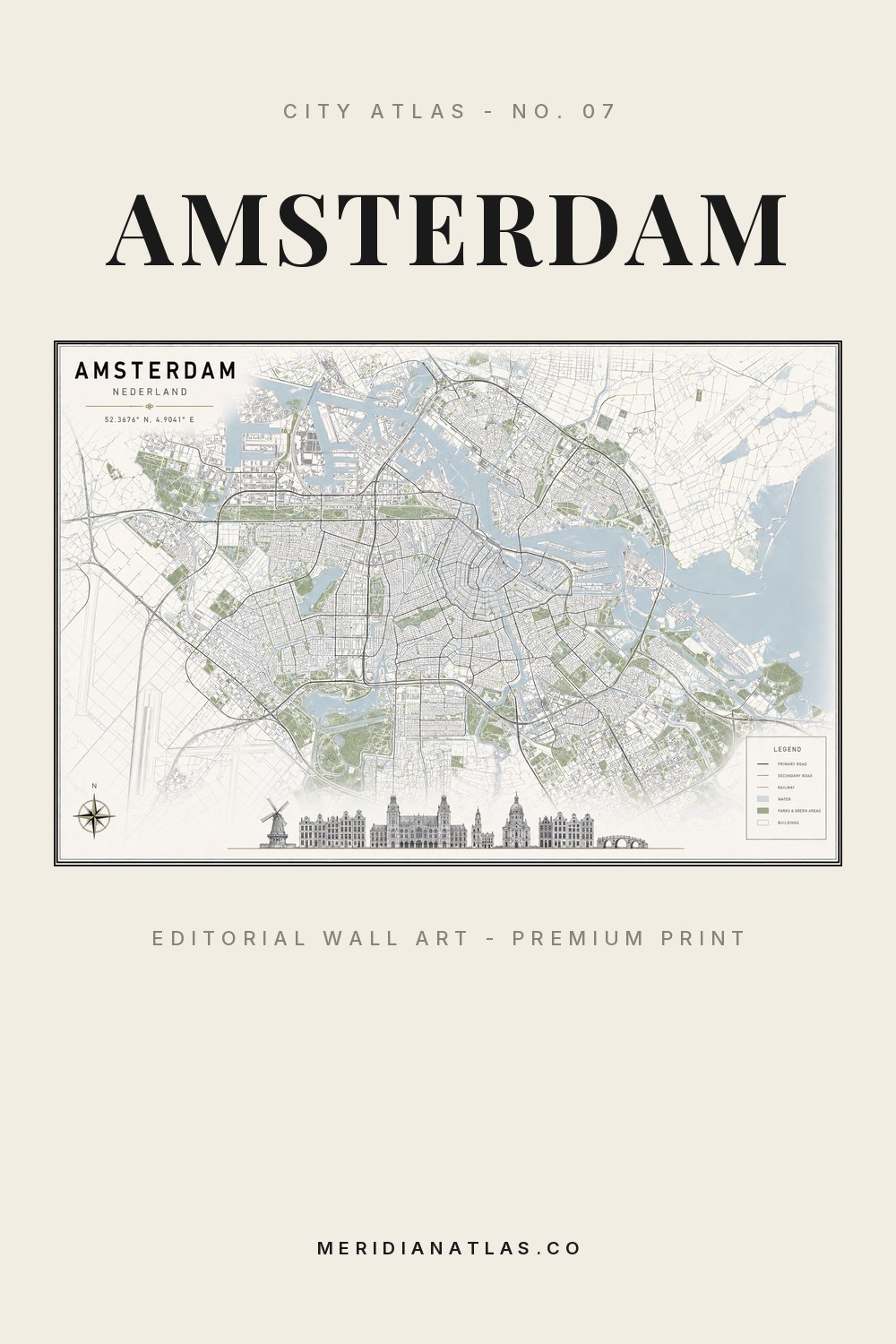
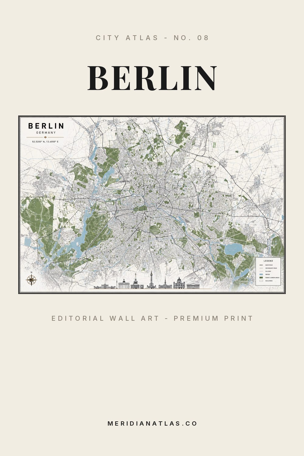
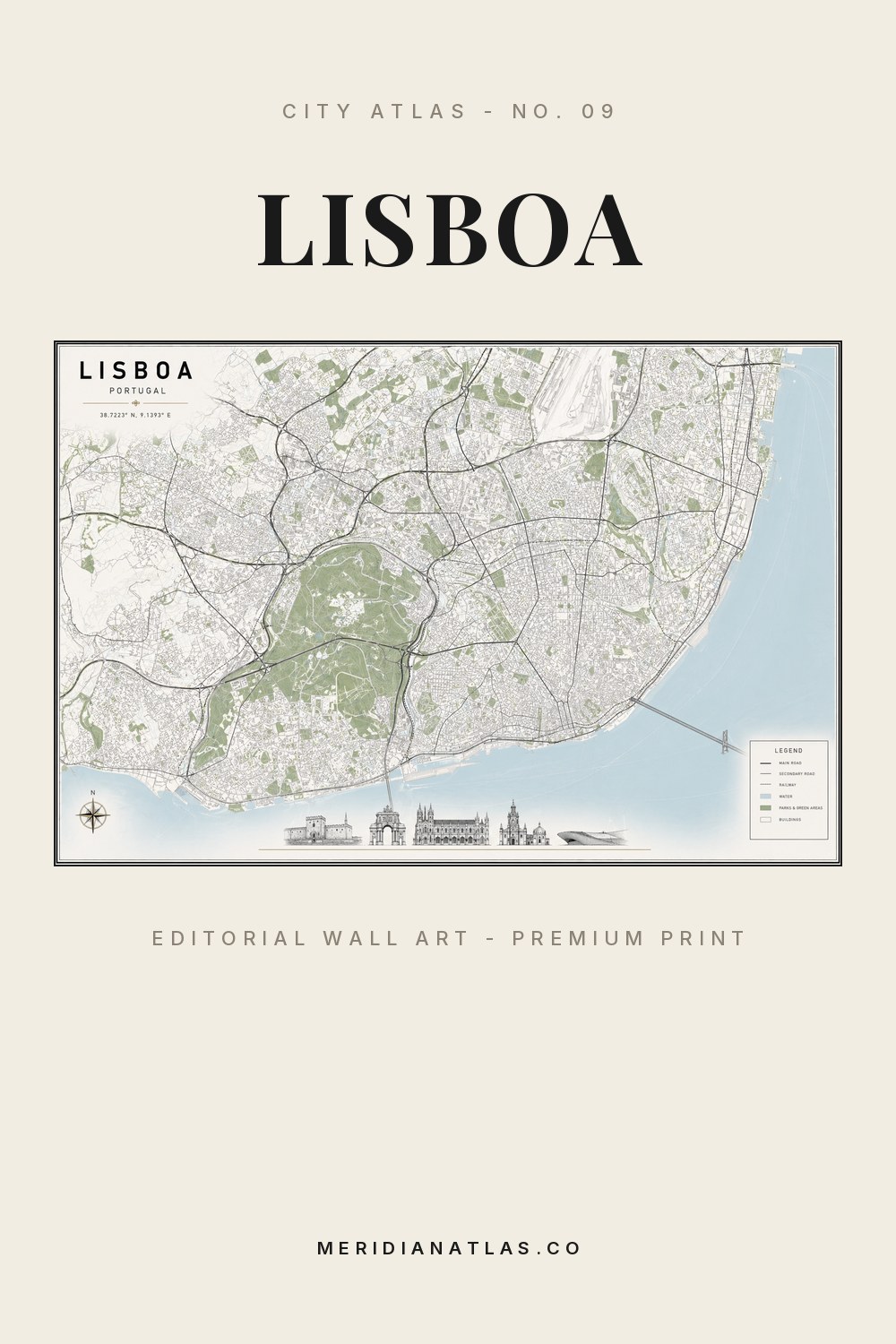
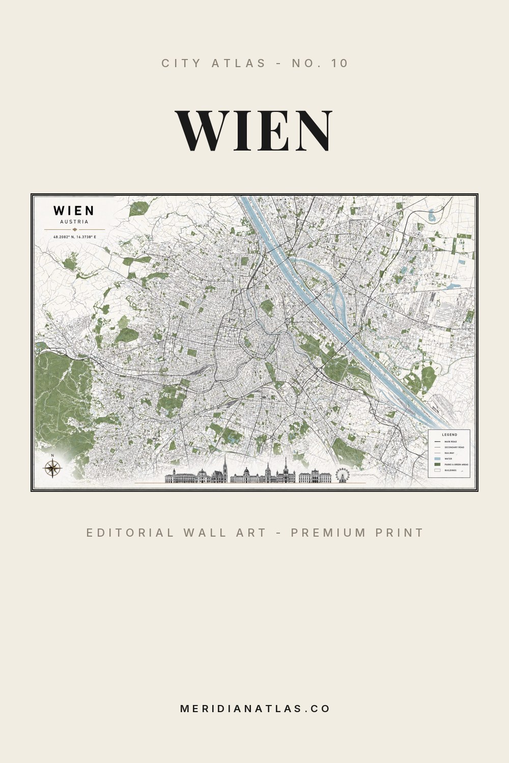
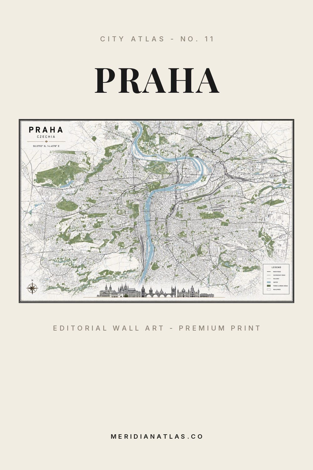
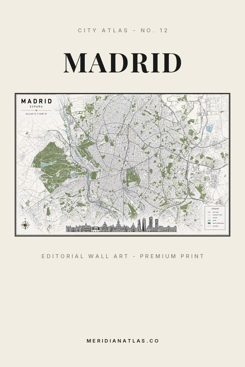
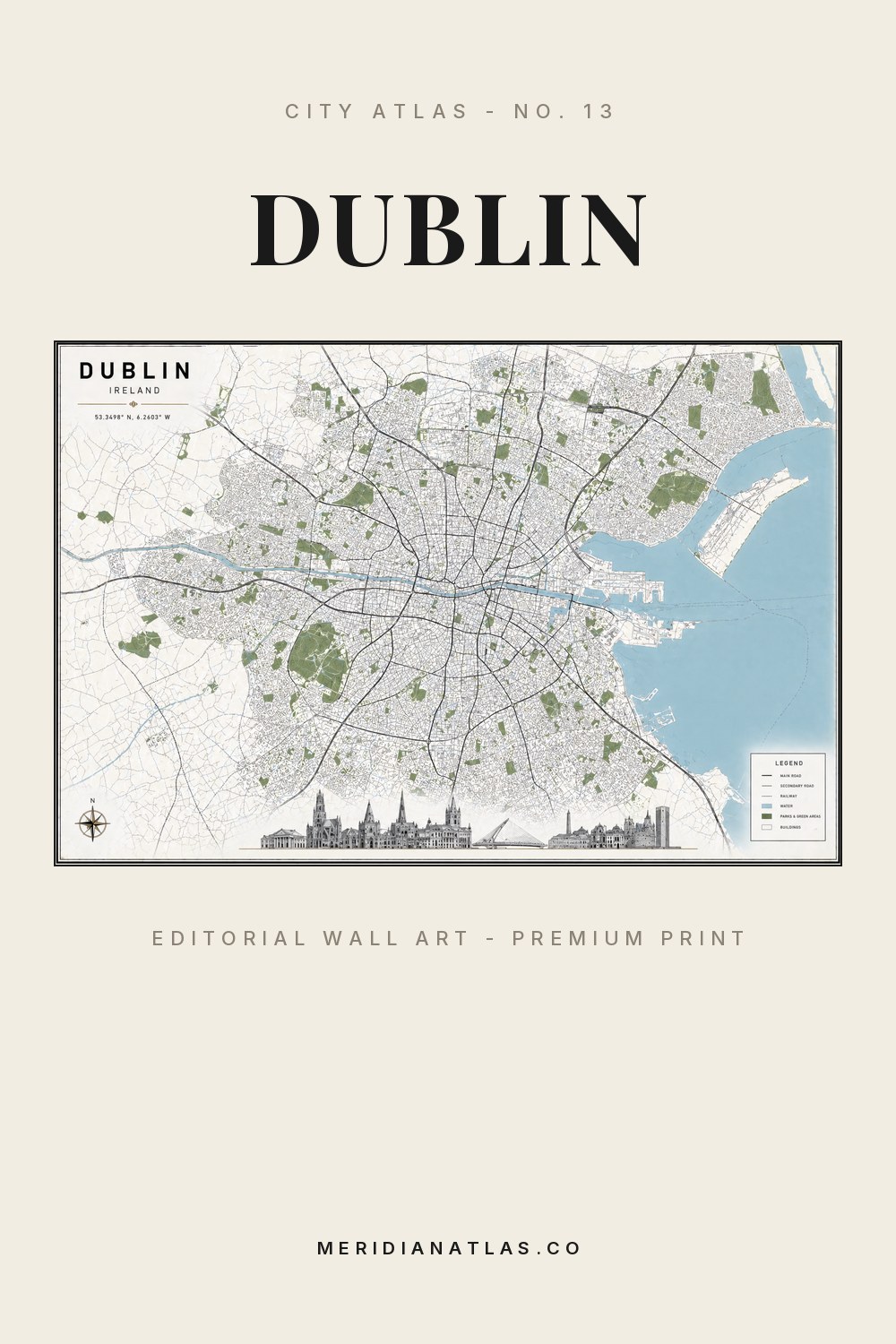
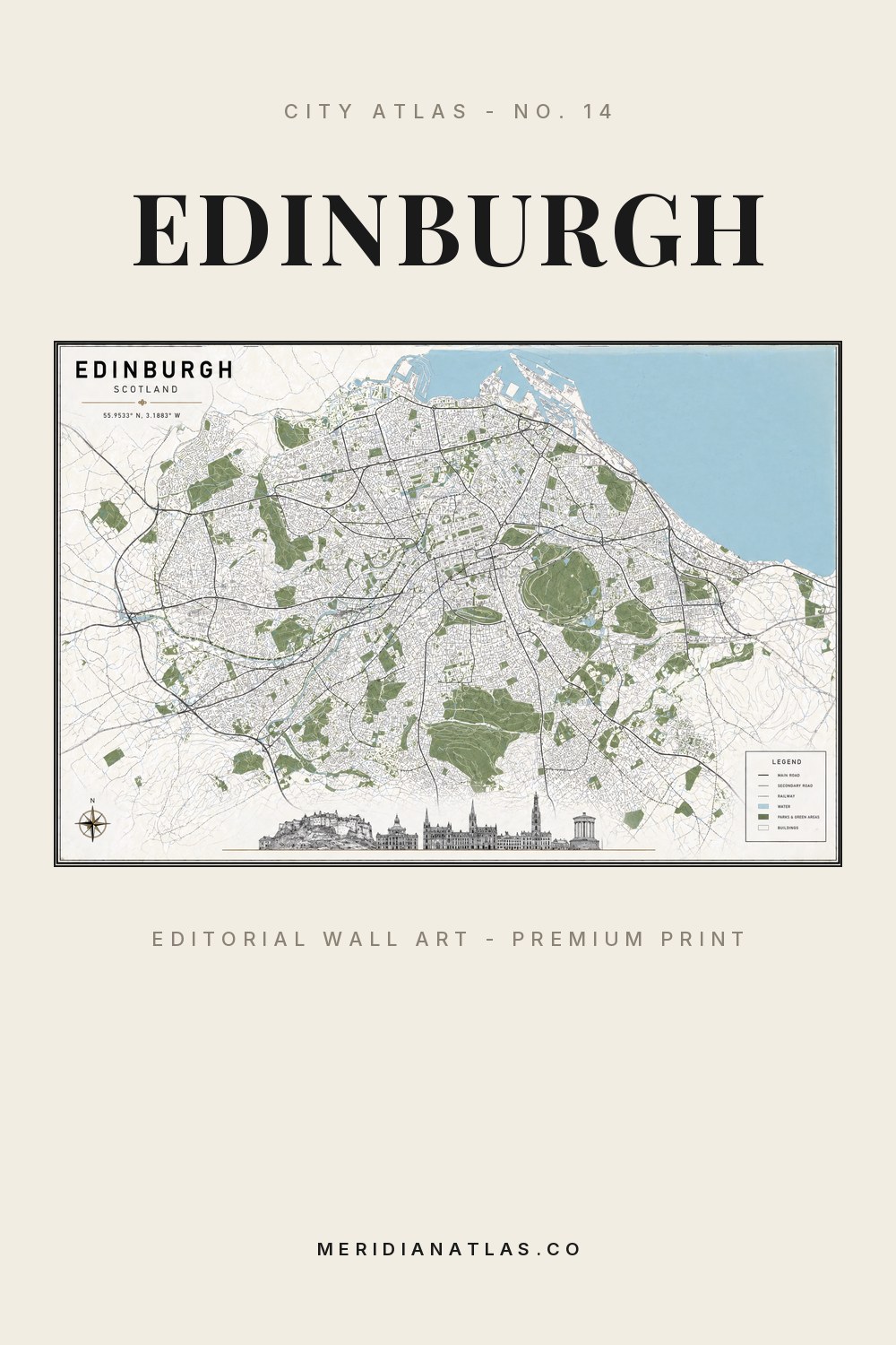
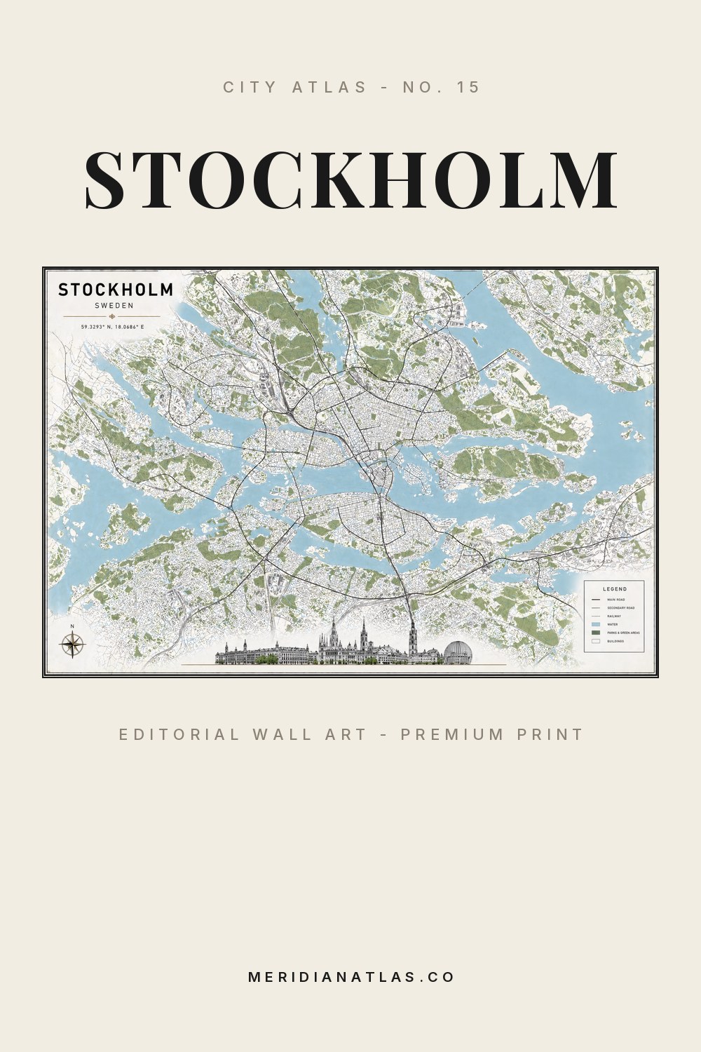
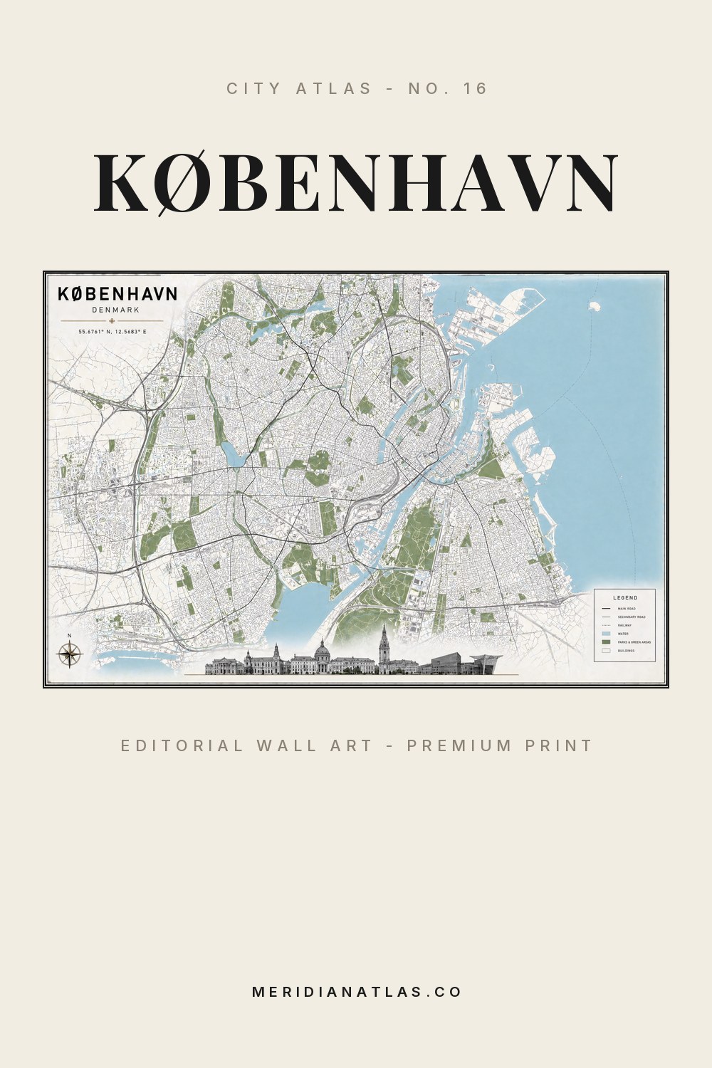
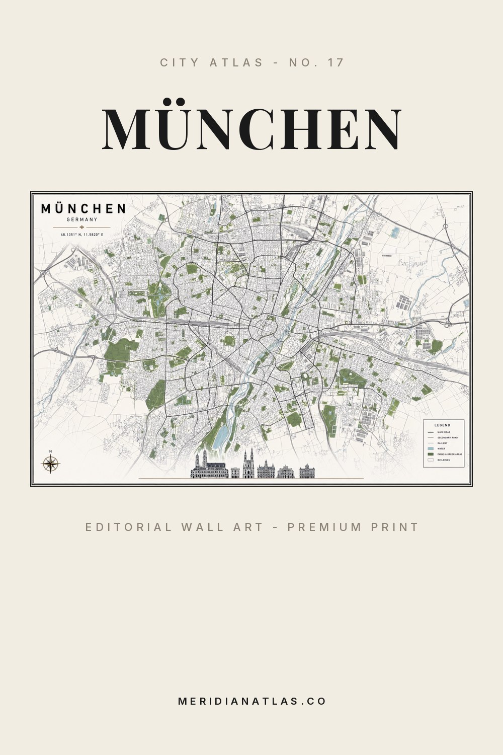
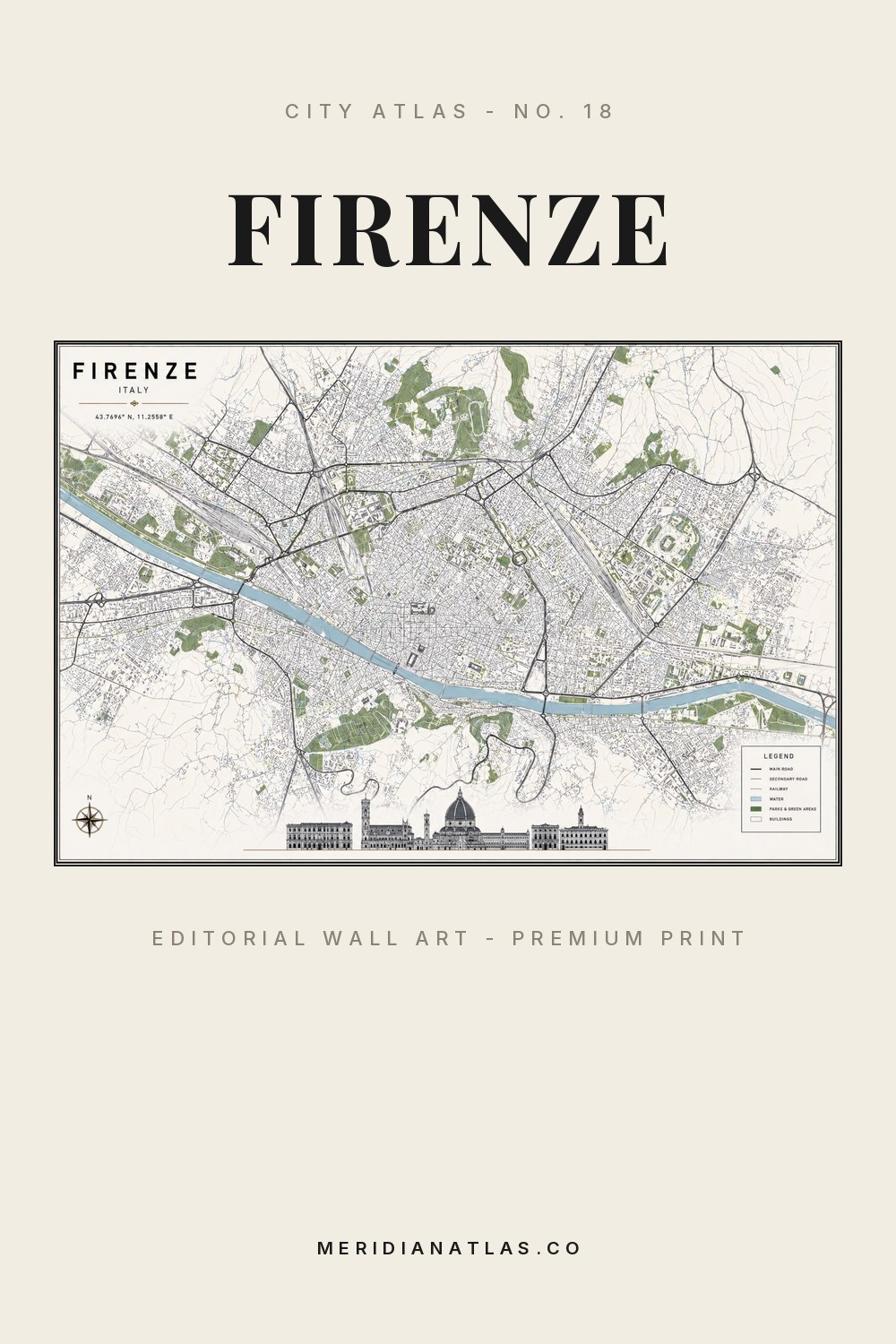
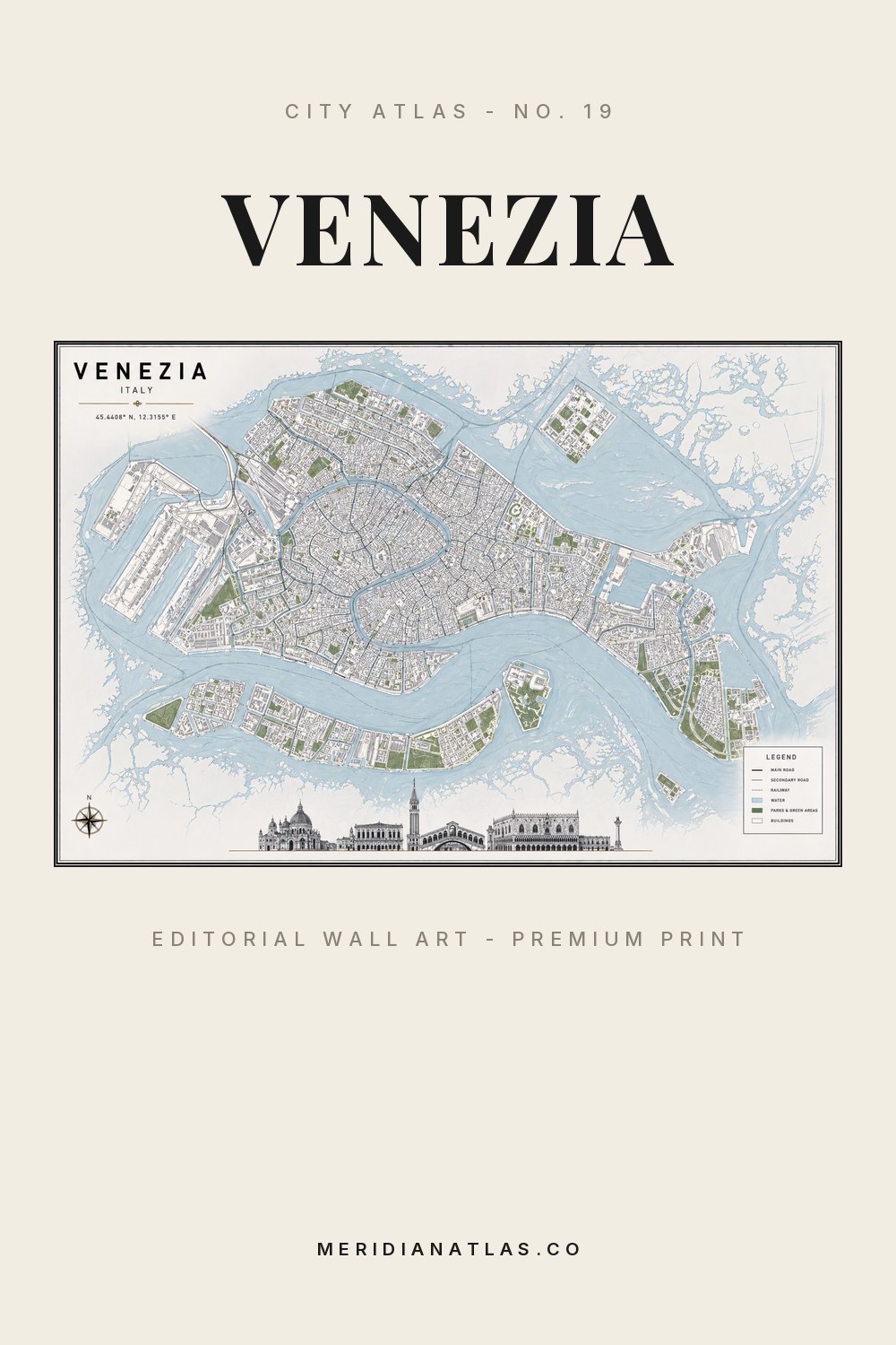
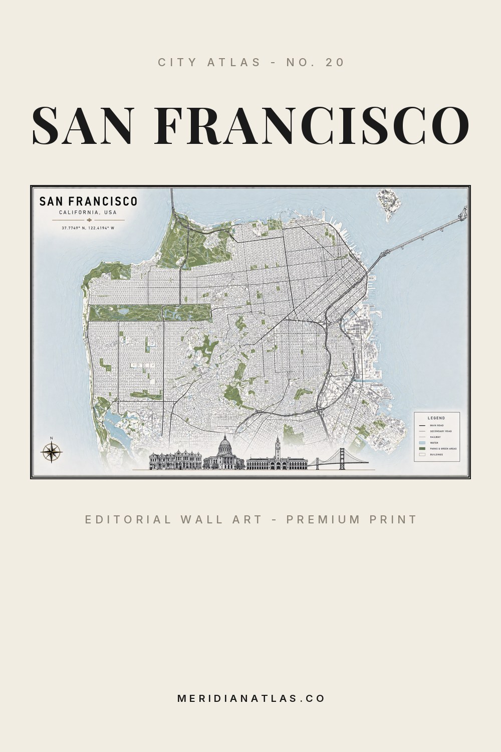
An AI-created map composition captures the real street grid, parks, rails and water in the atlas palette.
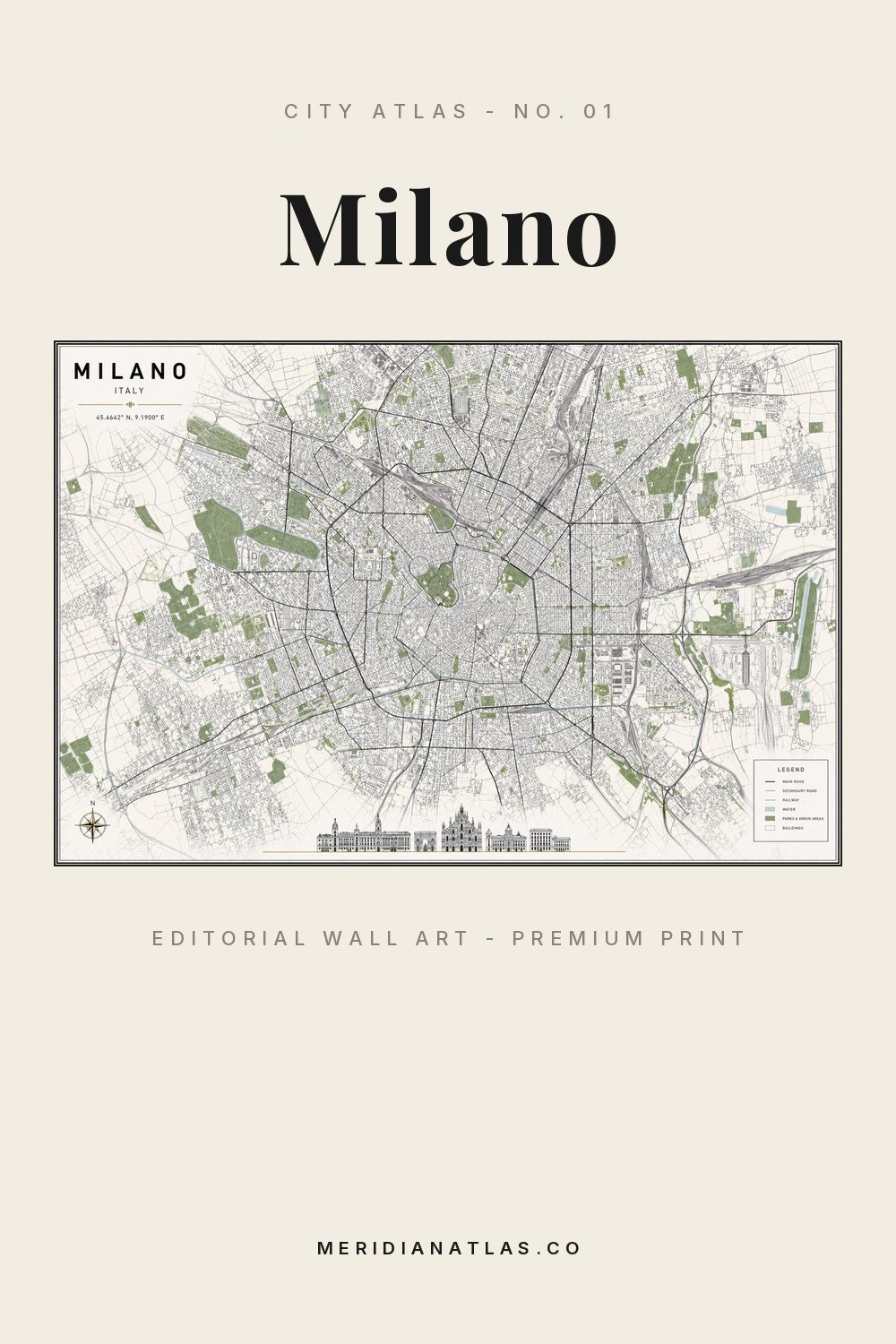
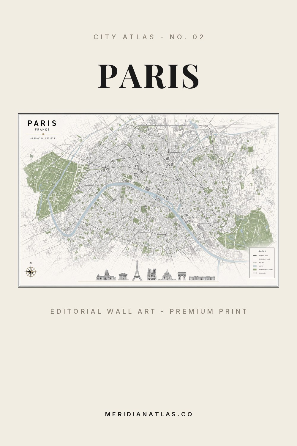
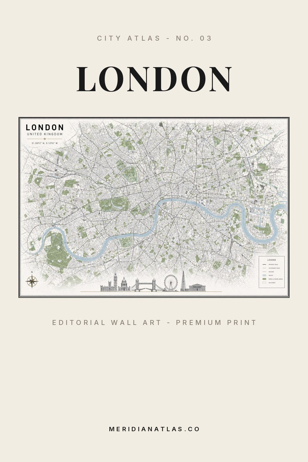
City Atlas — a numbered collection
Meridian Atlas Co. turns the cities you love into restrained, editorial wall art: true street grids, exact coordinates and a calm palette of sage, dusty blue and warm ivory, composed like the plates of a vintage atlas.
20 plates published to date · latest release: SAN FRANCISCO. Every artwork is AI-created, refined by hand and numbered as part of one continuous atlas.
The collection
Browse the numbered series. Each city opens as its own plate, with artwork studies, interior scale and a direct path to the print.
Index of plates
The atlas grows through the year. If your city is not listed yet, it may already be on the route.
Method
Three steps stand between a city and its place on your wall - the same sequence, for every plate in the atlas.
An AI-created map composition captures the real street grid, parks, rails and water in the atlas palette.
Each artwork is reviewed and corrected by hand, then numbered, titled with its local name and set with exact coordinates.
Plates are prepared at archival resolution and printed on demand via Redbubble, in the size and paper you choose.
“A calm atlas for modern interiors — city memories translated into quiet, architectural wall art.”Meridian Atlas Co.