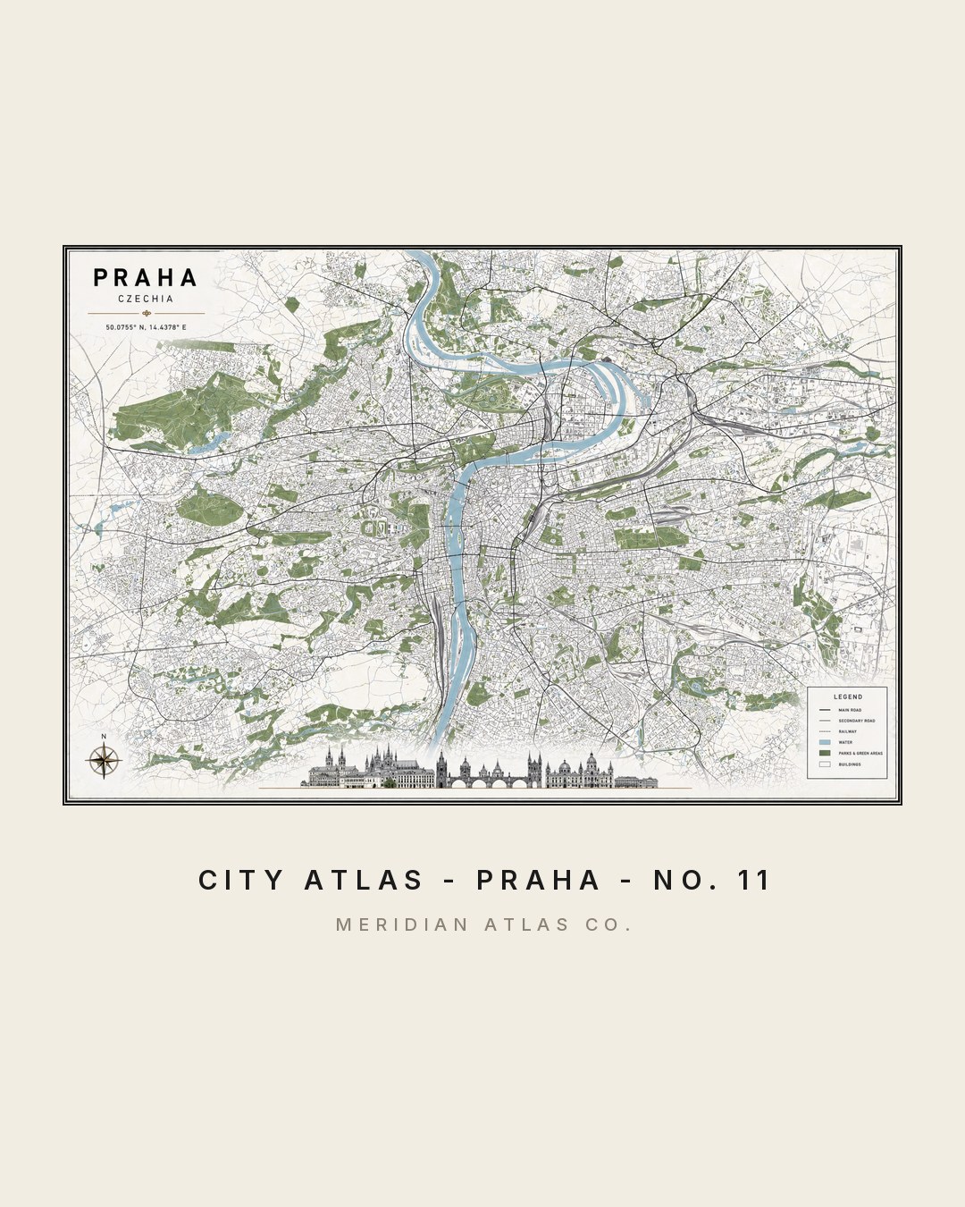
The Atlas · Plate No. 11 of 20
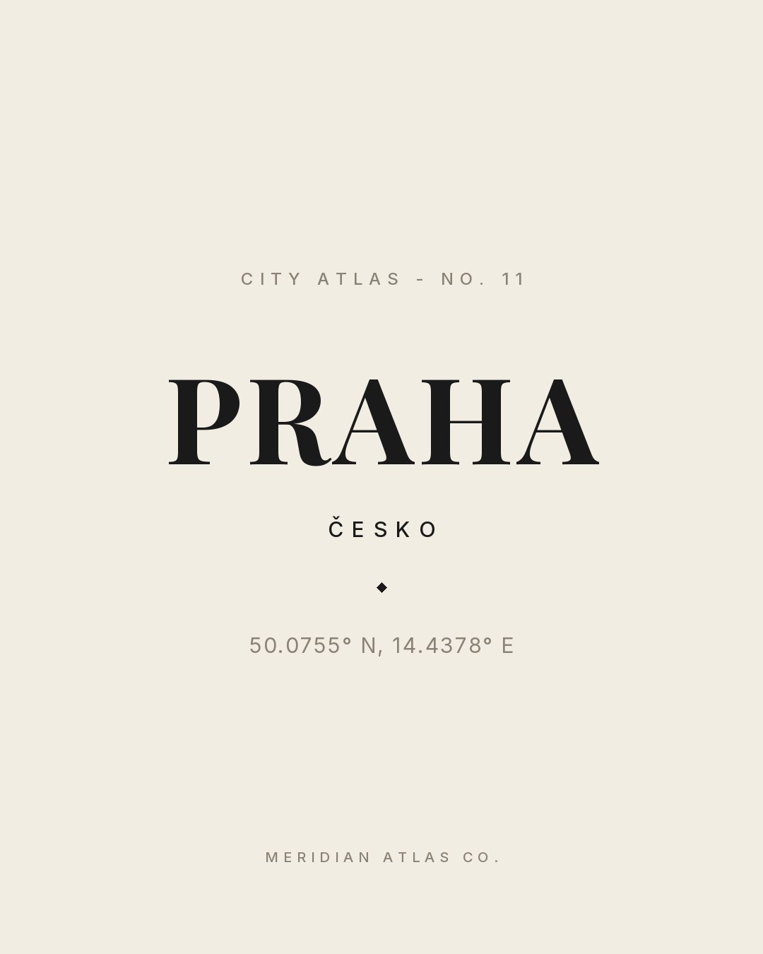
City Atlas — No. 11
PRAHA
ČESKO◆50.0755° N, 14.4378° E
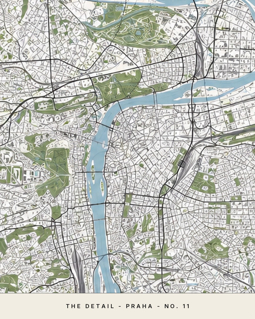
Prague kept its medieval plan almost intact - the map is the old city, not a memory of it.
The figures
One plate, studied four ways.
Tap any figure to enlarge it. Each study shows how the plate behaves: as a map, in a room, as typography and in motion.
Fig. IMap detailFig. IIInterior scaleFig. IIICoordinates plateFig. IVMotion preview