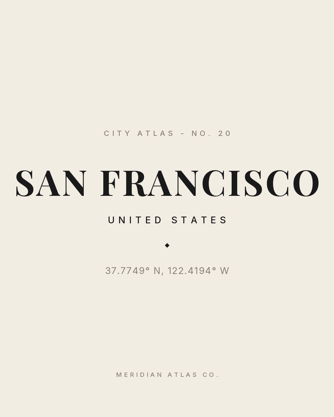
City Atlas — No. 20
SAN FRANCISCO
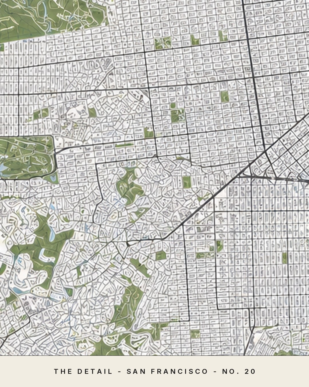
An editorial, AI-created map of SAN FRANCISCO - plate No. 20 in the City Atlas - drawn in sage, dusty blue and warm ivory and prepared for archival printing.
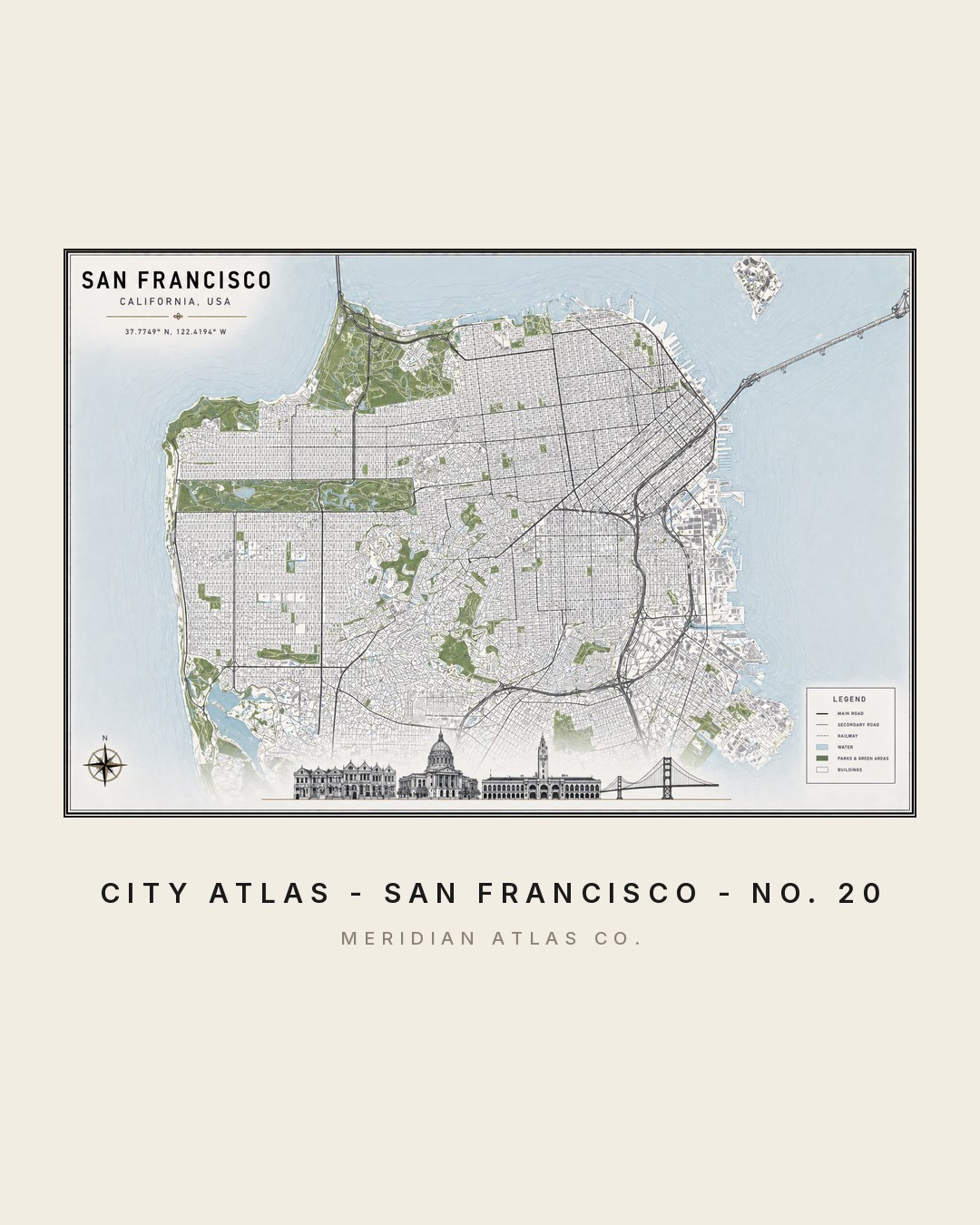
The figures
One plate, studied four ways.
Tap any figure to enlarge it. Each study shows how the plate behaves: as a map, in a room, as typography and in motion.