The Atlas · Plate No. 09 of 20
City Atlas — No. 09
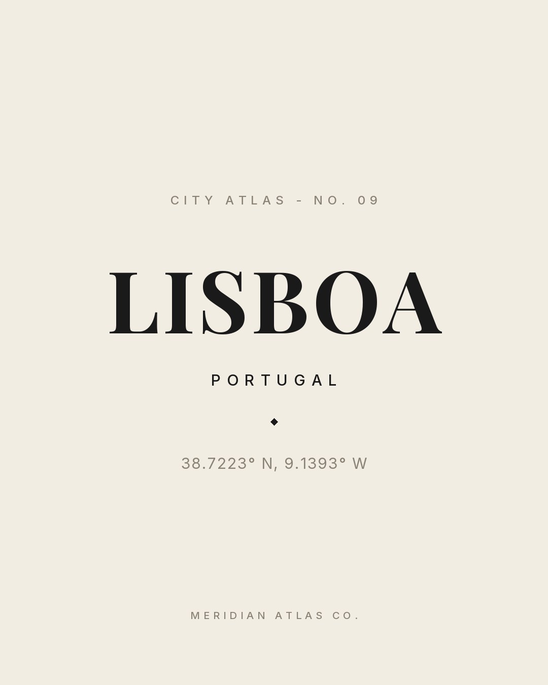
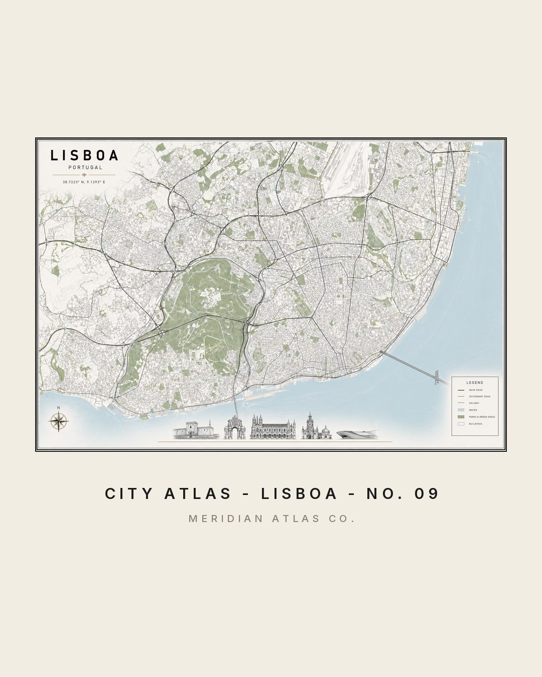
LISBOA
PORTUGAL◆38.7223° N, 9.1393° W
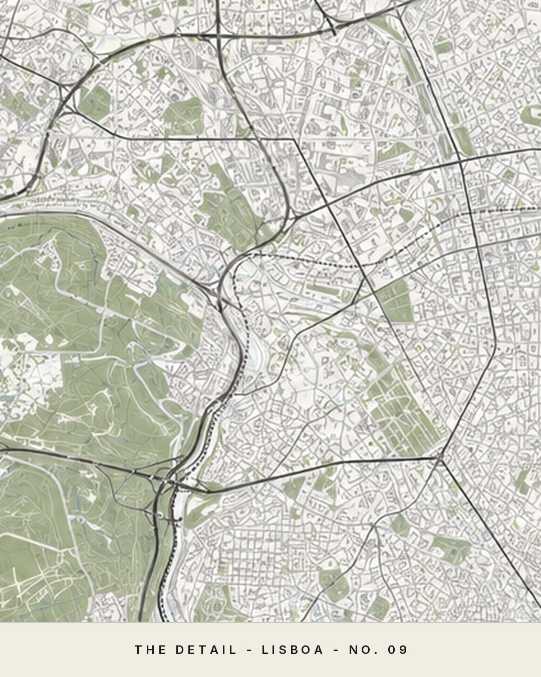
Lisboa rebuilt itself after 1755 with one of Europe's first planned grids - the Baixa, drawn straight against the hills.
The figures
One plate, studied four ways.
Tap any figure to enlarge it. Each study shows how the plate behaves: as a map, in a room, as typography and in motion.
Fig. IMap detailFig. IIInterior scaleFig. IIICoordinates plateFig. IVMotion preview